


Short Description
If you happen to be on the way to Mt. Kinabalu, why not take a detour and get on the Route A1 (Ranau-Kota Belud Bypass) instead. You will enter the Middle Earth country once you are on this route. Serene dramatic landscapes, Shakespearian Hamlets, stunning Riverine Villages are words that could describe this little Shire. Padi fields are dotted around the landscapes with mercurial skyscape melded in to end a perfect and phantasmagoria day.
Programmes and activities
Kadamaian river flow from mount kinabalu to the north sea of sabah, it passes an uncounted village include kg.taginambur,kg.gaur,kg.piasau and other village near by kota belud. An interesting flow make it the best to do a water rafting cruise from toginambur to the pit stop at Bundu Paka.
Some others activities:
- Camping
- Hiking
- Jungle tracking
- Family Reacreation
- Fishing in local farm
Facilities
Alongside of the Kadamaian River, there is some facilities can be found here:
- Camp Site
- Public Toilet
- Lodge
- Restaurant
- Recreational Hut
- Hiking Trek Guide
Package Offered
3 days 2 Nights
RM90 per person
Camping at Kadamaian river include meals
Getting There
Definitely, definitely hire a car if you don’t have one. Take the route to Mt. Kinabalu (Jalan Tuaran, then A4), then at some stage take a left turn towards Kota Belud after the Tamparuli town. Here’s the direction from Maplandia– it’s the A1 after Kampung Kelawat & before Pekan Nabalu. The road map shown as no through road, but if you were to google earth, you will see there is a road leading to A1. And to add confusion to it all, there are two roads called A1 in tha road map. It’s the second one, further from Tamparuli, that you should take.
By car – RM80++ (Rent a car)
Approximately 45mins from Kota Kinabalu to Kadamaian via Ranau Route


Kiulu
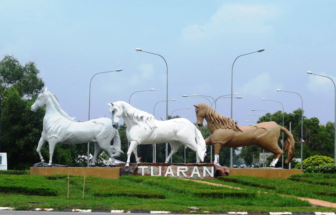
Tuaran is a district located in West Coast Division, in the northwest of Sabah, East Malaysia on the island of Borneo. Tuaran district has an area of 1,166 square kilometers and the people in this district are consists of ethnic Dusun, a third ethnic Bajau, and some Chinese. It has a distinctive nine-story Chinese pagoda as a prominent landmark. Also, there are two sub districts under Tuaran district and they are Kiulu and Tamparuli.